Wikipedia does not have a File page with this exact name.
Other reasons this message may be displayed:
|
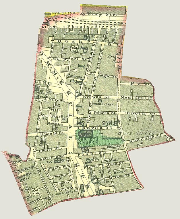
File:Spitalfields Parish map 1885.jpg
From WikiMD.com - Food, Medicine & Wellness Encyclopedia
Size of this preview: 491 × 599 pixels. Other resolution: 627 × 765 pixels.
Original file (627 × 765 pixels, file size: 155 KB, MIME type: image/jpeg)
File history
Click on a date/time to view the file as it appeared at that time.
| Date/Time | Thumbnail | Dimensions | User | Comment | |
|---|---|---|---|---|---|
| current | 18:52, 1 October 2013 | | 627 × 765 (155 KB) | Aetheling1125 | {{subst:Upload marker added by en.wp UW}} {{Information |Description = {{en|A map of the parish of Spitalfields c.1885 which has been cut out and scanned.}} |Source = '''Original publication''': Street map of London<br/> '''Immediate source''': A photo... |
File usage
The following file is a duplicate of this file (more details):
- File:Spitalfields Parish map 1885.jpg from Wikimedia Commons
The following page uses this file: