Wikipedia does not have a File page with this exact name.
Other reasons this message may be displayed:
|
File:Danske-amter-1793-1970.png
From WikiMD's Food, Medicine & Wellness Encyclopedia
No higher resolution available.
Danske-amter-1793-1970.png (400 × 479 pixels, file size: 11 KB, MIME type: image/png)
File history
Click on a date/time to view the file as it appeared at that time.
| Date/Time | Thumbnail | Dimensions | User | Comment | |
|---|---|---|---|---|---|
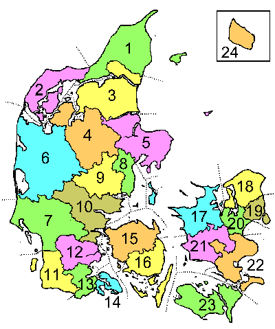
| current | 14:41, 28 July 2005 | | 400 × 479 (11 KB) | Lars Helbo~commonswiki | This is a map showing Danish counties as they were during the period 1793-1970. The map was drawn by Lars Helbo {{PD}} |
File usage
The following file is a duplicate of this file (more details):
- File:Danske-amter-1793-1970.png from Wikimedia Commons
The following page uses this file: