Wikipedia does not have a File page with this exact name.
Other reasons this message may be displayed:
|
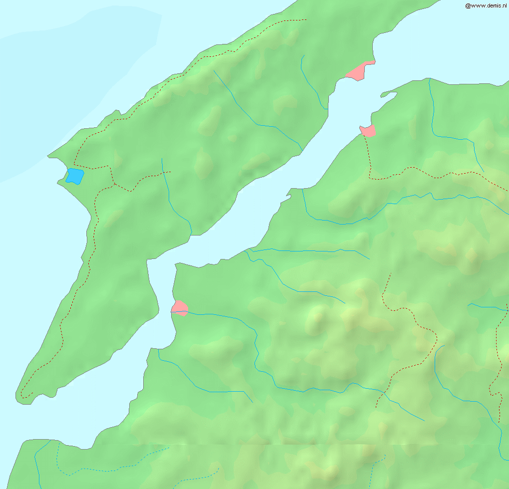
File:Dardanelles map.png
From WikiMD's Food, Medicine & Wellness Encyclopedia
Size of this preview: 624 × 600 pixels. Other resolution: 1,020 × 980 pixels.
Original file (1,020 × 980 pixels, file size: 219 KB, MIME type: image/png)
File history
Click on a date/time to view the file as it appeared at that time.
| Date/Time | Thumbnail | Dimensions | User | Comment | |
|---|---|---|---|---|---|
| current | 17:53, 6 September 2005 | | 1,020 × 980 (219 KB) | Mats Halldin~commonswiki | Map of the w:en:Dardanelles strait. Bounding box West 26.15°, South 39.95°, East 26.9°, North 40.5°. {{demis-pd}} category:maps of Turkey |
File usage
The following file is a duplicate of this file (more details):
- File:Dardanelles map.png from Wikimedia Commons
There are no pages that use this file.