Wikipedia does not have a File page with this exact name.
Other reasons this message may be displayed:
|
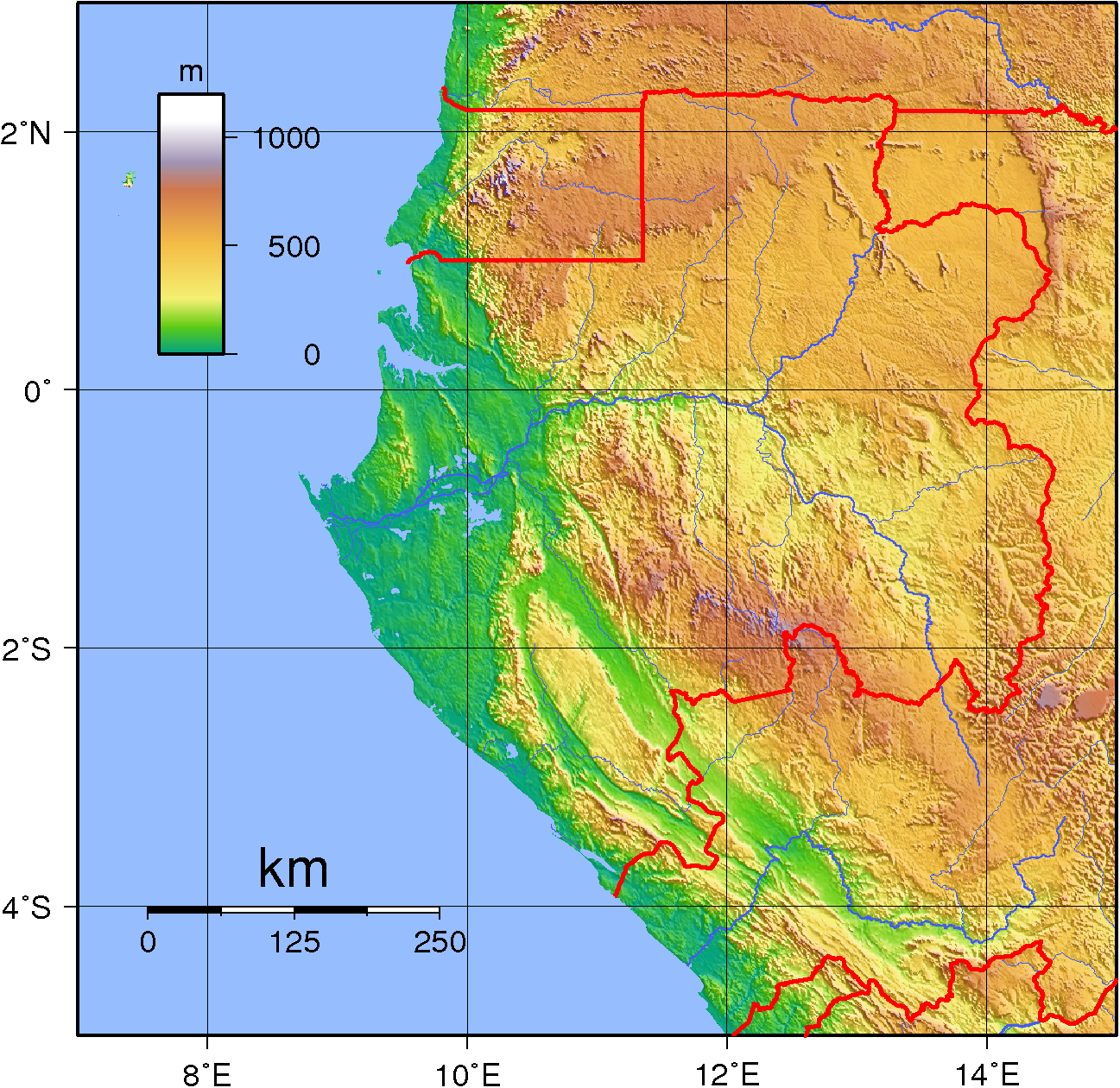
File:Gabon Topography.png
From WikiMD's Food, Medicine & Wellness Encyclopedia
Size of this preview: 617 × 599 pixels. Other resolution: 1,297 × 1,260 pixels.
Original file (1,297 × 1,260 pixels, file size: 1.62 MB, MIME type: image/png)
File history
Click on a date/time to view the file as it appeared at that time.
| Date/Time | Thumbnail | Dimensions | User | Comment | |
|---|---|---|---|---|---|
| current | 19:51, 29 June 2007 | | 1,297 × 1,260 (1.62 MB) | Sadalmelik | {{Information |Description=Topographic map of Gabon. Created with GMT from SRTM data. |Source=self-made |Date=June 29, 2007 |Author= Sadalmelik }} Category:Maps of Gabon Category:Topographic maps of Gabon |
File usage
The following file is a duplicate of this file (more details):
- File:Gabon Topography.png from Wikimedia Commons
The following page uses this file: