Wikipedia does not have a File page with this exact name.
Other reasons this message may be displayed:
|
File:Lacus Constantiensis 1540.jpg
From WikiMD's Food, Medicine & Wellness Encyclopedia
Size of this preview: 724 × 599 pixels. Other resolution: 1,266 × 1,048 pixels.
Original file (1,266 × 1,048 pixels, file size: 676 KB, MIME type: image/jpeg)
File history
Click on a date/time to view the file as it appeared at that time.
| Date/Time | Thumbnail | Dimensions | User | Comment | |
|---|---|---|---|---|---|
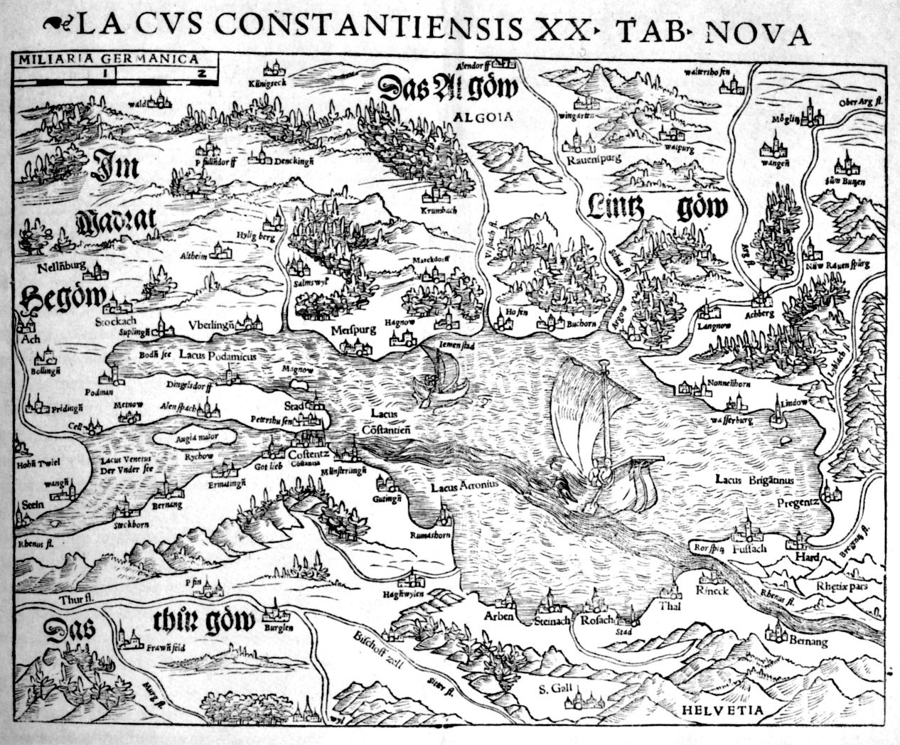
| current | 10:55, 6 April 2006 | | 1,266 × 1,048 (676 KB) | Fb78 | {{en|Map of Lake Constance and its surroundings, by Johannes Zwick and Thomas Blarer. Printed in Ptolemaios Geographia Universalis, ed. by Sebastian Münster, Basel 1540}} Category:16th century maps Category:Historical maps of Europe [[Category:B |
File usage
The following file is a duplicate of this file (more details):
- File:Lacus Constantiensis 1540.jpg from Wikimedia Commons
The following page uses this file: