Wikipedia does not have a File page with this exact name.
Other reasons this message may be displayed:
|
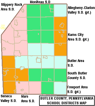
File:Map of Butler County Pennsylvania School Districts.png
From WikiMD's Food, Medicine & Wellness Encyclopedia
No higher resolution available.
Map_of_Butler_County_Pennsylvania_School_Districts.png (328 × 366 pixels, file size: 12 KB, MIME type: image/png)
File history
Click on a date/time to view the file as it appeared at that time.
| Date/Time | Thumbnail | Dimensions | User | Comment | |
|---|---|---|---|---|---|
| current | 20:20, 5 June 2006 | | 328 × 366 (12 KB) | Ruhrfisch | {{Information| |Description= Map of Butler County, Pennsylvania, United States Public School Districts |Source= taken from US Census website [http://factfinder.census.gov/] and modified by User:Ruhrfisch |Date= June 2006 |Author= US Census, Ruhrfisc |
File usage
The following file is a duplicate of this file (more details):
- File:Map of Butler County Pennsylvania School Districts.png from Wikimedia Commons
The following page uses this file: