Wikipedia does not have a File page with this exact name.
Other reasons this message may be displayed:
|
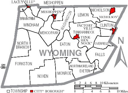
File:Map of Wyoming County Pennsylvania With Municipal and Township Labels.png
From WikiMD's Food, Medicine & Wellness Encyclopedia
No higher resolution available.
Map_of_Wyoming_County_Pennsylvania_With_Municipal_and_Township_Labels.png (429 × 314 pixels, file size: 30 KB, MIME type: image/png)
File history
Click on a date/time to view the file as it appeared at that time.
| Date/Time | Thumbnail | Dimensions | User | Comment | |
|---|---|---|---|---|---|
| current | 14:31, 4 April 2006 | | 429 × 314 (30 KB) | Ruhrfisch | Map of Wyoming County, Pennsylvania, United States with township and municipal boundaries is taken from US Census website [http://www2.census.gov/geo/maps/general_ref/cousub_outline/cen2k_pgsz/pa_cosub.pdf] and modified by User:Ruhrfisch in April 2006 |
File usage
The following file is a duplicate of this file (more details):
- File:Map of Wyoming County Pennsylvania With Municipal and Township Labels.png from Wikimedia Commons
The following page uses this file: