Wikipedia does not have a File page with this exact name.
Other reasons this message may be displayed:
|
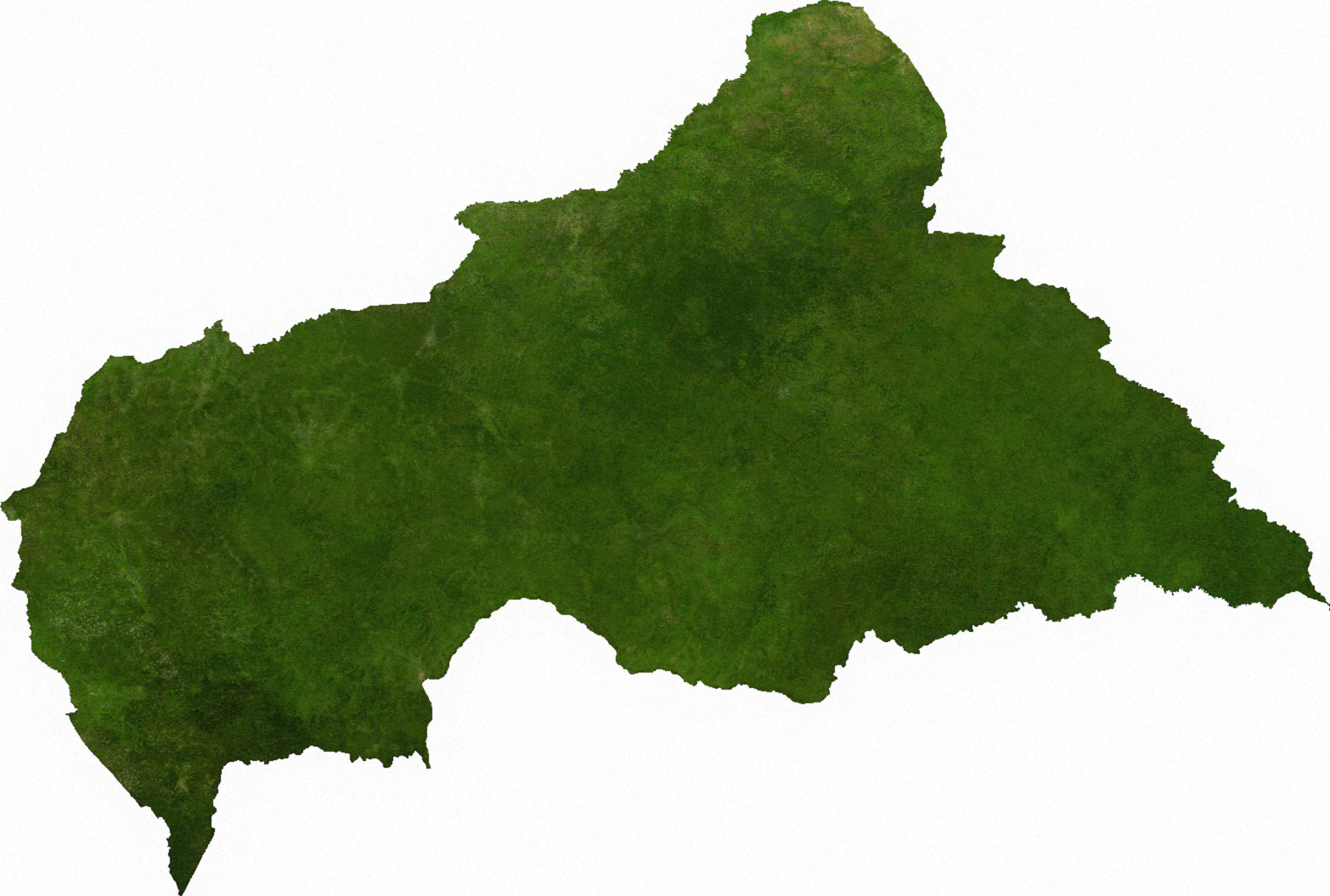
File:Satellite map of the Central African Republic.png
From WikiMD's Food, Medicine & Wellness Encyclopedia
Size of this preview: 800 × 539 pixels. Other resolution: 1,566 × 1,055 pixels.
Original file (1,566 × 1,055 pixels, file size: 1.72 MB, MIME type: image/png)
File history
Click on a date/time to view the file as it appeared at that time.
| Date/Time | Thumbnail | Dimensions | User | Comment | |
|---|---|---|---|---|---|
| current | 16:45, 6 July 2009 | | 1,566 × 1,055 (1.72 MB) | BetacommandBot | move approved by: User:Kintetsubuffalo This image was moved from File:Cenafrep sat.png ECW to TIFF to PNG (compression level 9). {{PD-MapLibrary}} [[Category:Maps of the Central African Re |
File usage
The following file is a duplicate of this file (more details):
- File:Satellite map of the Central African Republic.png from Wikimedia Commons
The following page uses this file: