Wikipedia does not have a File page with this exact name.
Other reasons this message may be displayed:
|
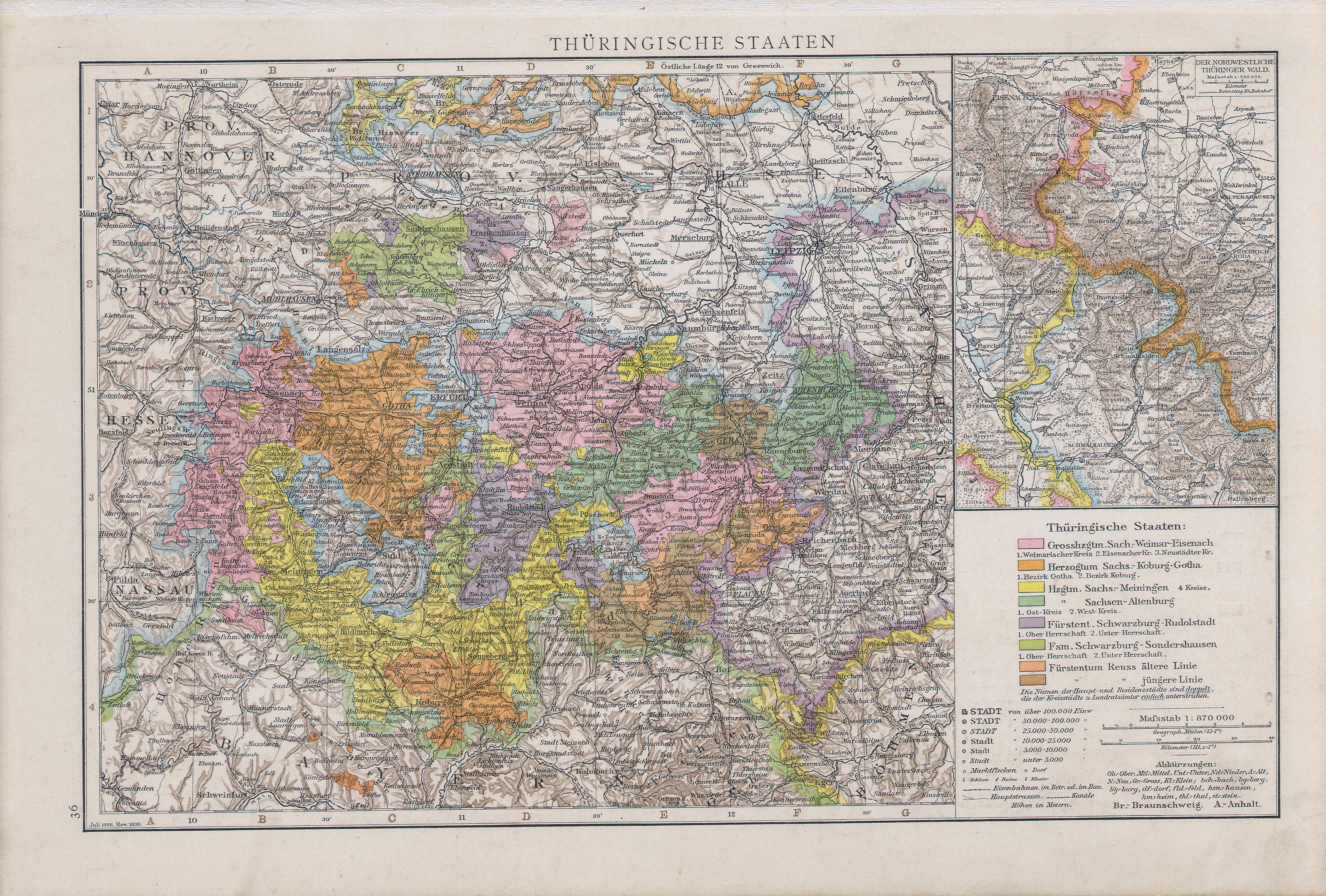
File:Thuringische staaten1890.jpg
From WikiMD's Food, Medicine & Wellness Encyclopedia
Size of this preview: 800 × 541 pixels. Other resolutions: 2,560 × 1,730 pixels | 4,767 × 3,222 pixels.
Original file (4,767 × 3,222 pixels, file size: 7.42 MB, MIME type: image/jpeg)
File history
Click on a date/time to view the file as it appeared at that time.
| Date/Time | Thumbnail | Dimensions | User | Comment | |
|---|---|---|---|---|---|
| current | 09:27, 9 July 2008 | | 4,767 × 3,222 (7.42 MB) | Matriosa | {{Information |Description={{en|1=Map of Thuringian States, 1890}} {{sk|1=Mapa durínskych štátov, 1890}} |Source=Allgemeiner handatlas. 1890 |Author=Andree |Date=1890 |Permission= |other_versions= }} {{ImageUpload|full}} [[Category:Old maps of Thuring |
File usage
The following file is a duplicate of this file (more details):
- File:Thuringische staaten1890.jpg from Wikimedia Commons
The following page uses this file: