Wikipedia does not have a File page with this exact name.
Other reasons this message may be displayed:
|
File:IsraelCVFRtopography.jpg
From WikiMD's Food, Medicine & Wellness Encyclopedia
Size of this preview: 446 × 599 pixels. Other resolution: 1,233 × 1,656 pixels.
Original file (1,233 × 1,656 pixels, file size: 191 KB, MIME type: image/jpeg)
File history
Click on a date/time to view the file as it appeared at that time.
| Date/Time | Thumbnail | Dimensions | User | Comment | |
|---|---|---|---|---|---|
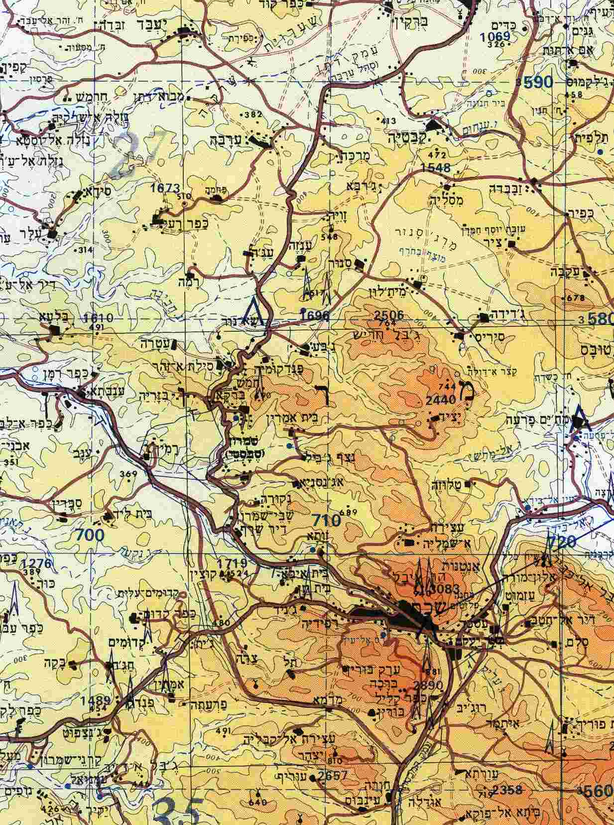
| current | 12:29, 8 October 2009 | | 1,233 × 1,656 (191 KB) | Etan J. Tal | {{Information |Description={{en|1=Section of topographical map of Nablus area (West Bank)}} |Source=Aeronautical Information Publication - Domestic (AIP) of the Israel Civil Aviation Administration – presently Civil Aviation Authority (CAA) |Aut |
File usage
The following file is a duplicate of this file (more details):
- File:IsraelCVFRtopography.jpg from Wikimedia Commons
The following page uses this file: