Wikipedia does not have a File page with this exact name.
Other reasons this message may be displayed:
|
File:Schuylkillmap.png
From WikiMD's Food, Medicine & Wellness Encyclopedia
Size of this preview: 597 × 600 pixels. Other resolution: 600 × 603 pixels.
Original file (600 × 603 pixels, file size: 163 KB, MIME type: image/png)
File history
Click on a date/time to view the file as it appeared at that time.
| Date/Time | Thumbnail | Dimensions | User | Comment | |
|---|---|---|---|---|---|
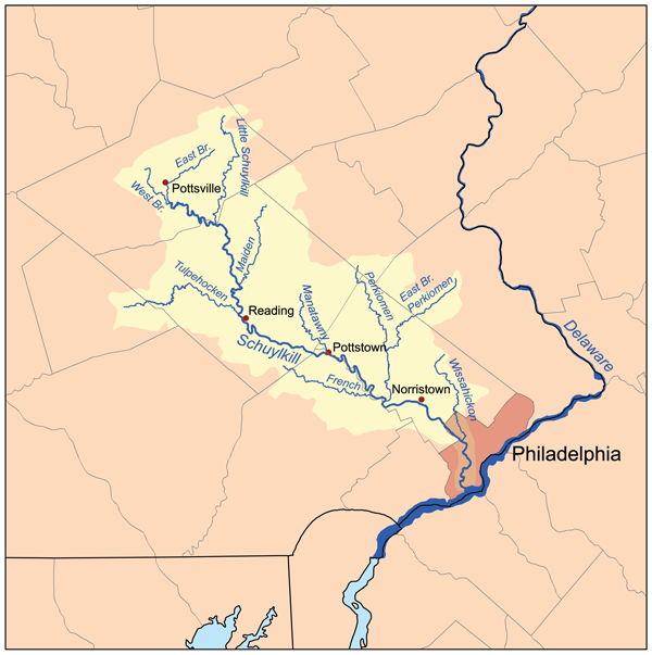
| current | 21:10, 26 December 2006 | | 600 × 603 (163 KB) | Kmusser | This is a map of the Schuylkill River Watershed. I, Karl Musser, created it based on USGS data. {{self|cc-by-sa-2.5}} Category:Maps of rivers of the United States |
File usage
The following file is a duplicate of this file (more details):
- File:Schuylkillmap.png from Wikimedia Commons
The following page uses this file: