Wikipedia does not have a File page with this exact name.
Other reasons this message may be displayed:
|
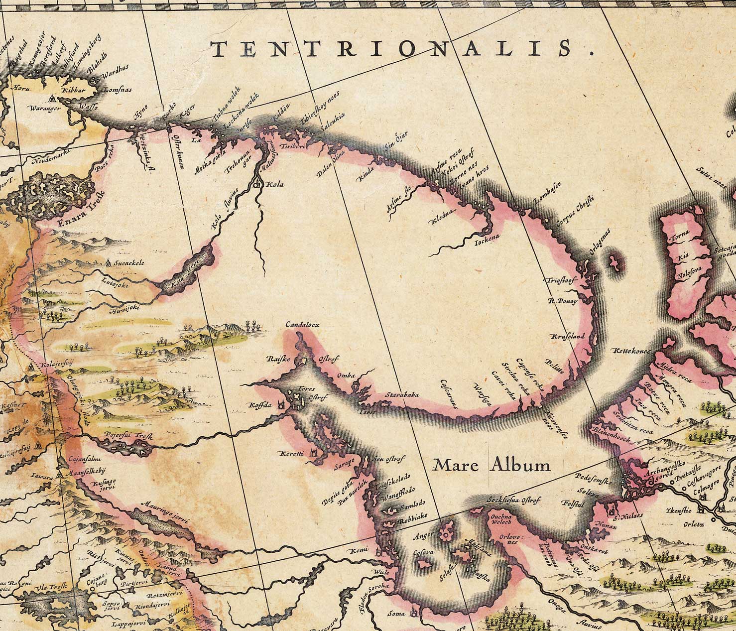
File:Whiteseamap.jpg
From WikiMD's Food, Medicine & Wellness Encyclopedia
Size of this preview: 699 × 599 pixels. Other resolution: 1,478 × 1,267 pixels.
Original file (1,478 × 1,267 pixels, file size: 370 KB, MIME type: image/jpeg)
File history
Click on a date/time to view the file as it appeared at that time.
| Date/Time | Thumbnail | Dimensions | User | Comment | |
|---|---|---|---|---|---|
| current | 11:00, 2 December 2009 | | 1,478 × 1,267 (370 KB) | File Upload Bot (Magnus Manske) | {{BotMoveToCommons|en.wikipedia|year={{subst:CURRENTYEAR}}|month={{subst:CURRENTMONTHNAME}}|day={{subst:CURRENTDAY}}}} {{Information |Description={{en|Map of the en:White Sea and adjacent regions. From the Dutch "Novus Atlas" (1635). Cartographer: |
File usage
The following file is a duplicate of this file (more details):
- File:Whiteseamap.jpg from Wikimedia Commons
The following 2 pages use this file: